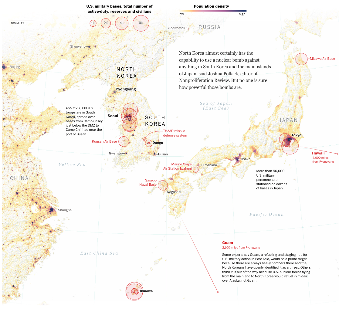
North Korea's missile ambitions, mapped
View project →
Published: May 18, 2017 | The Washington Post
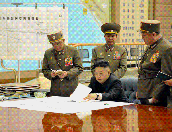
A cartographic analysis of North Korea's missile program, mapping potential target zones based on test data and propaganda clues. The piece explored how Pyongyang's state media reveals strategic intent through carefully curated visuals.
Role: Cartographer and visual editor
Highlights:
- Collaborated with subject-matter experts to decode propaganda maps and inferred strike plans
- Designed maps connecting missile test data to possible U.S. and allied targets
- Incorporated lofted trajectory paths to convey estimated missile reach
- Helped visualize how North Korea's state media cues can signal intent, whether real or performative