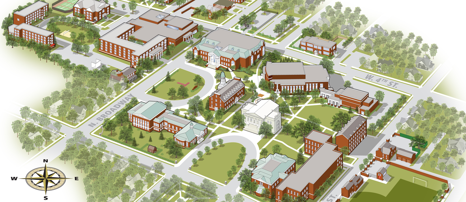
Transylvania University Campus Map
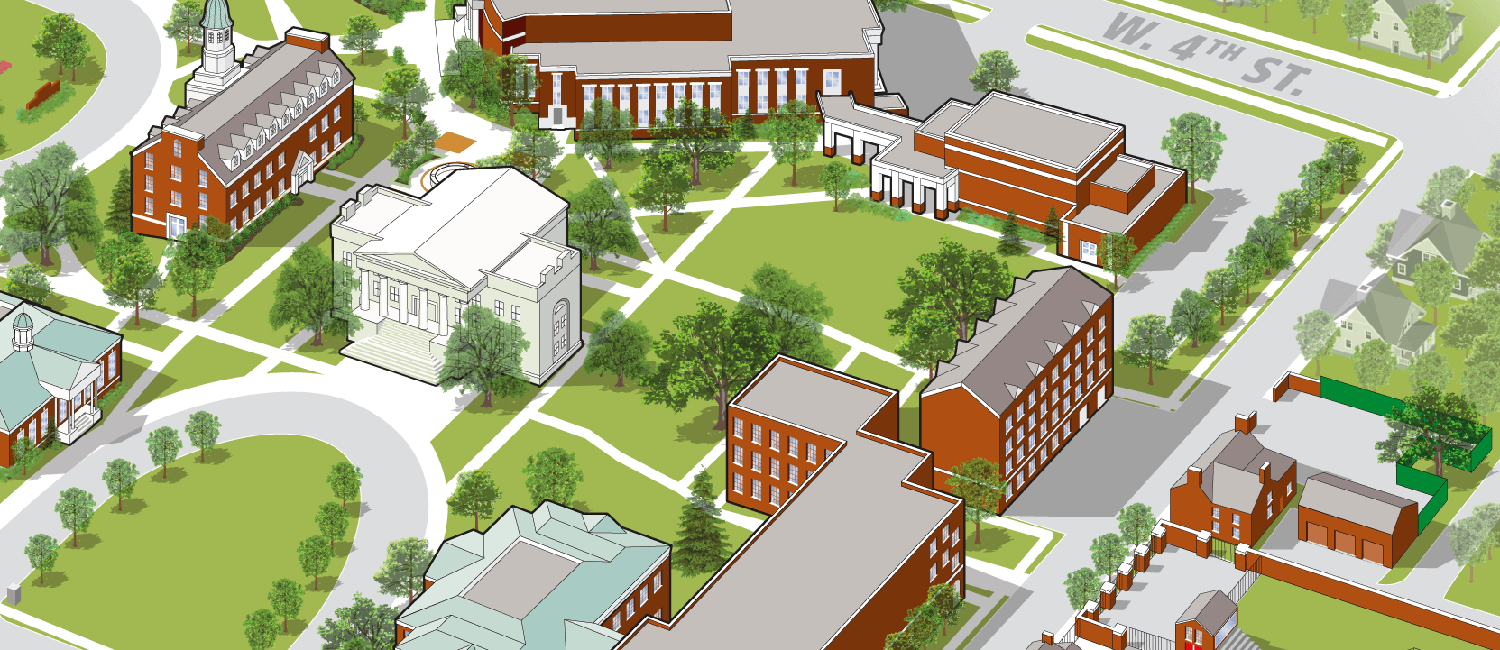
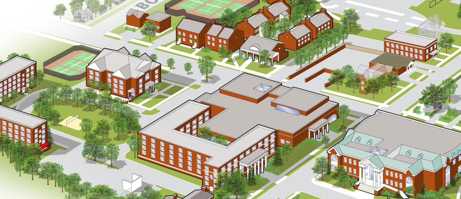
My alma mater approached me about updating their campus map. The original map was a beautifully rendered watercolor by a local artist, but udpating the old analog map as campus started a multi-year rennovation process was proving to be difficult. Using a combination of satellite imagery, detailed building photos, a two-dimensional campus map, and my four years of first-person experience, I built this map line by line. Part of the charm of Transylvania is its rich history that comes through in campus architecture. I strove to capture that charm in my rendering of campus, keeping archictectural details intact while still providing a birds-eye view of the area.


